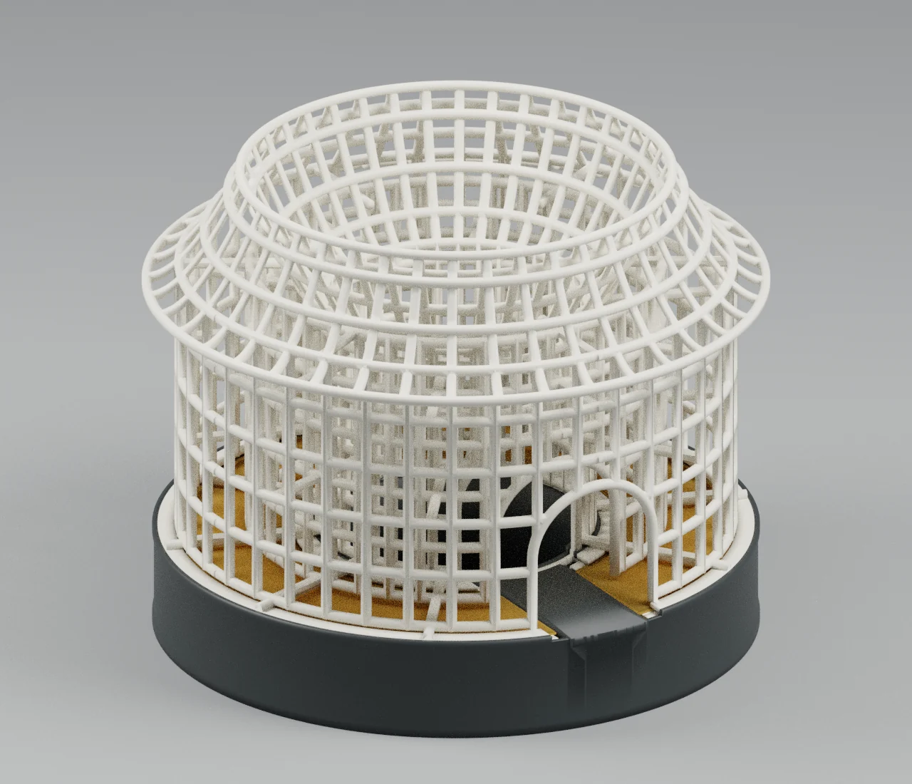
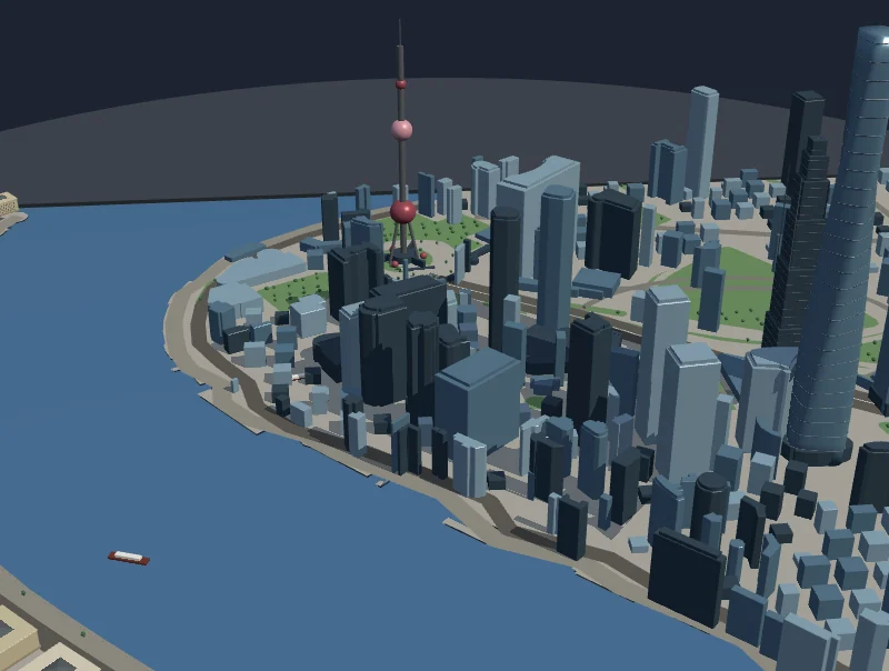
Bilan Frontier Miniature Map 3D-Printable Model
A miniature region map combining towns, roads, mountains, forests, and coastlines into a layered adventure landscape. Generated by Kimi K3.1 Pro.
Loading preview...
Start from this prompt
A layered miniature region map with towns, roads, mountains, forests and coastlines.
Try 3D MakeDesign a complete rectangular original-fantasy-continent miniature map with towns, roads, bridges, mountains, lakes, coastlines, islands, and forests. Use actual terrain relief, clear connections between areas, and a coherent overall composition, with readable buildings, routes, and natural features. Fit a 0.4 mm nozzle, 300×320×320 mm build volume, and multicolor PLA. Provide an editable model, assembled model, and color-assigned, plate-arranged 3MF.
Add touch controls
Adds phone controls and layout without changing the other requirements.
Try 3D MakeDesign a complete rectangular original-fantasy-continent miniature map with towns, roads, bridges, mountains, lakes, coastlines, islands, and forests. Use actual terrain relief, clear connections between areas, and a coherent overall composition, with readable buildings, routes, and natural features. Fit a 0.4 mm nozzle, 300×320×320 mm build volume, and multicolor PLA. Provide an editable model, assembled model, and color-assigned, plate-arranged 3MF.
Design a complete rectangular original-fantasy-continent miniature map with towns, roads, bridges, mountains, lakes, coastlines, islands, and forests. Use actual terrain relief, clear connections between areas, and a coherent overall composition, with readable buildings, routes, and natural features. Fit a 0.4 mm nozzle, 300×320×320 mm build volume, and multicolor PLA. Provide an editable model, assembled model, and color-assigned, plate-arranged 3MF.
You Might Also Like
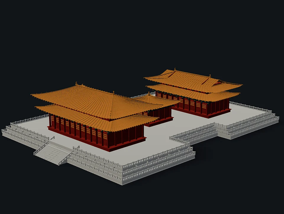
Forbidden City 3D-Printable Model
Three Great Halls stand on a shared three-tier white marble terrace, with yellow tiled roofs, vermilion columns, teal beams and a central ceremonial ramp. Generated by Kimi K3.1 Pro.

Yingxian Wooden Pagoda 3D-Printable Model
A desktop Yingxian Wooden Pagoda with layered galleries, dark-grey roofs and a pale timber structure. Level-by-level parts and a removable base support assembly. Generated by Kimi K3.1 Pro.