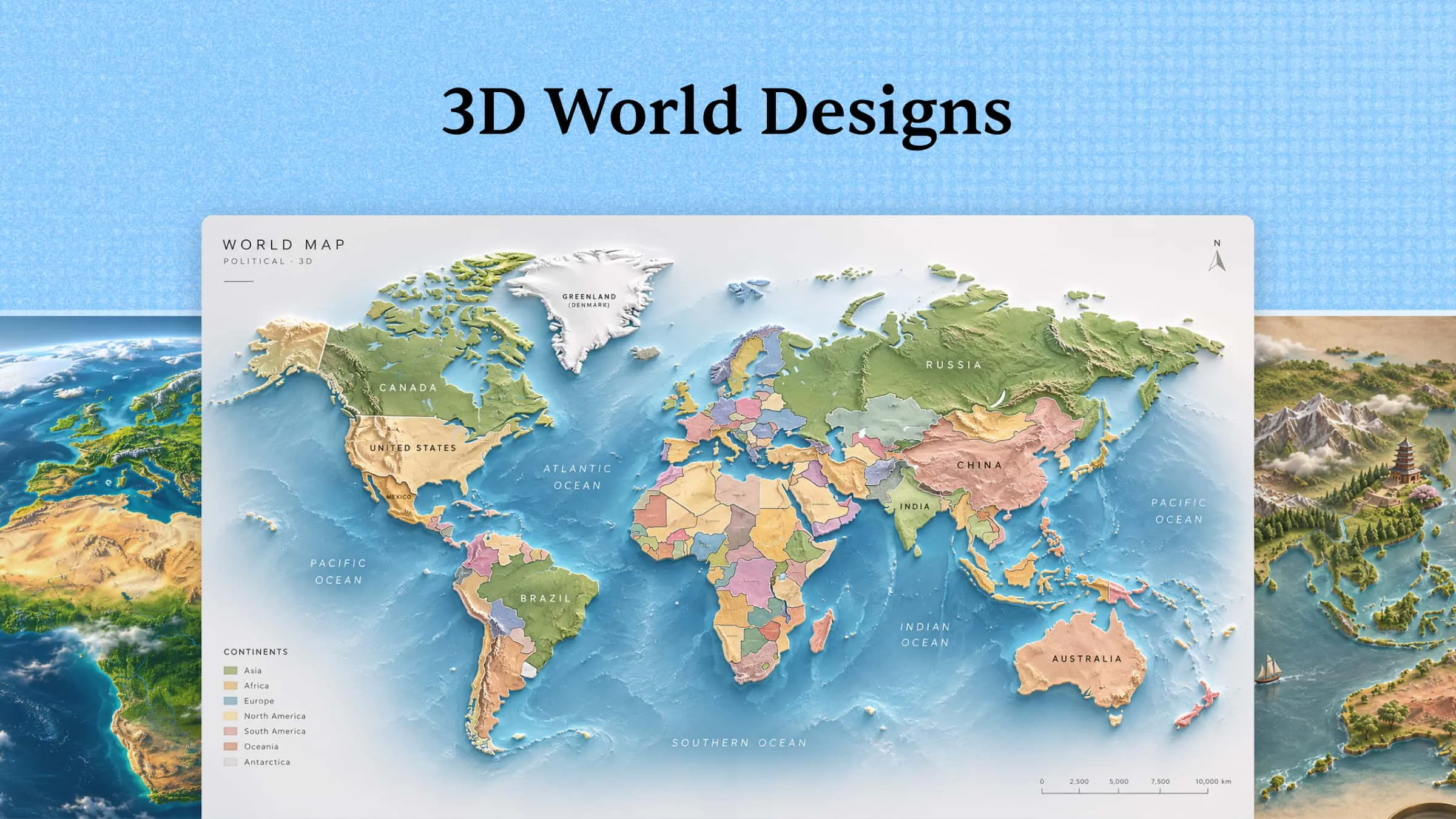
Every artistic project requires a new perspective, but generating unique visual concepts is not always easy. Sometimes, simply exploring something unfamiliar can ignite your creativity. A 3D world presents a variety of opportunities, ranging from imaginative scenery to detailed digital environments.. In this article, you will explore 10 incredible 3D world maps that can provide you with new thoughts and motivation for your upcoming project.
Overview of popular 3D world images
The following table provides a quick overview of the 10 3D world designs discussed in this article. You can compare their main features and understand what each design focuses on before exploring them in more detail.
| 3D world map type | Key features | Visual elements | Suitable for |
|---|---|---|---|
| Political 3D world map | National borders, territories, and geographical divisions | Raised country shapes, boundary lines, and labels | Geography lessons and political presentations |
| Physical 3D world map | Mountains, oceans, rivers, deserts, and plains | Landforms, water bodies, and elevation details | Geography education and environmental studies |
| Topographic 3D world map | Contour lines, height variations, valleys, and slopes | Raised terrain, elevation shading, and contour patterns | Terrain analysis and geographical research |
| Climate 3D world map | Temperature zones, rainfall, and weather conditions | Color-coded climate regions and weather indicators | Climate studies and educational projects |
| Satellite 3D world map | Coastlines, forests, deserts, mountains, and urban areas | Satellite imagery, realistic textures, and natural colors | Science projects and geographic presentations |
| Population density 3D world map | Population concentrations, urban areas, and regional differences | Density-based colors, raised regions, and population markers | Demographic studies and urban planning |
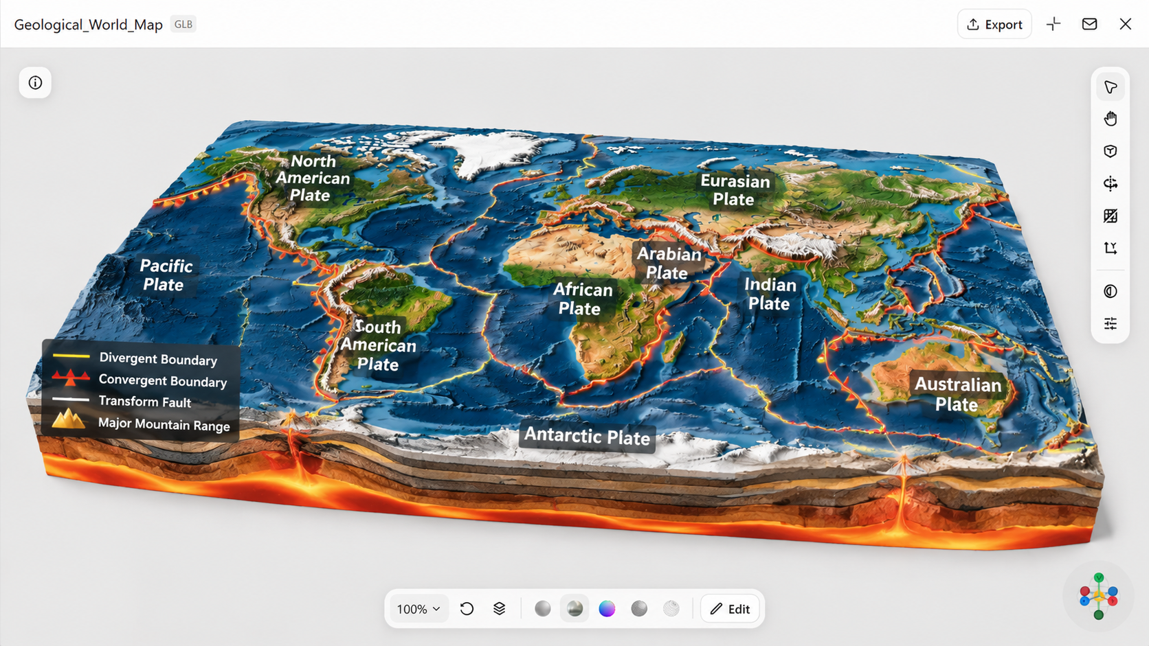
| Geological 3D world map | Tectonic plates, rock formations, and fault lines | Layered crust sections, geological boundaries, and fault markings | Earth science and geological research |
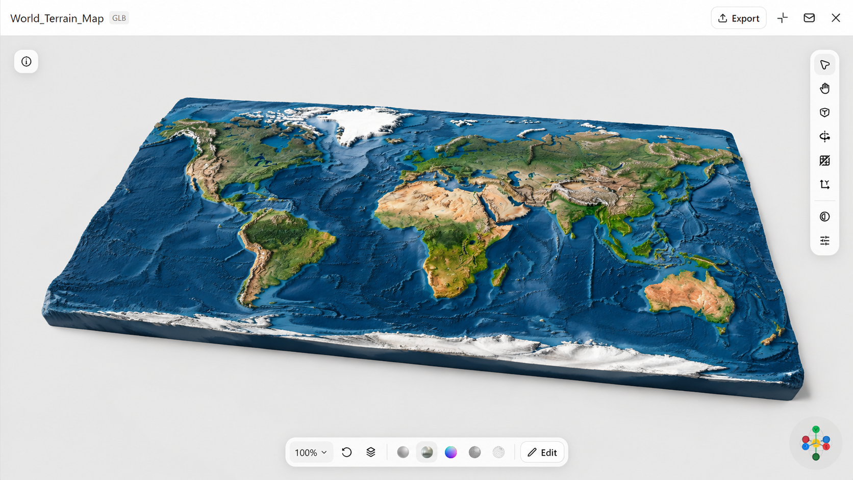
| Terrain 3D world map | Hills, plains, valleys, and mountain ranges | Shaded relief, raised landforms, and surface textures | Landscape planning and outdoor education |
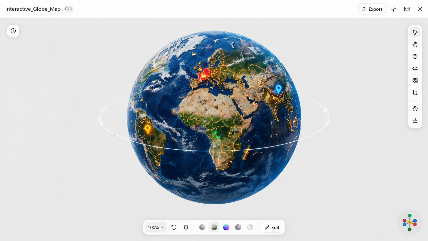
| Interactive 3D world map | Rotation, zooming, clickable regions, and location details | Navigable globe, interactive markers, and information panels | Digital learning and interactive presentations |
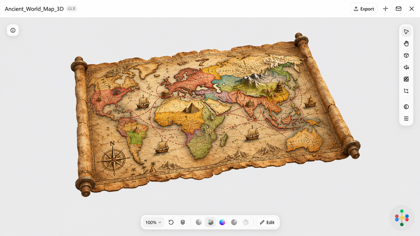
| Historical 3D world map | Ancient civilizations, changing borders, and trade routes | Historical territories, route markers, and period-based labels | History lessons and historical research |
Discover 10 different 3D world designs
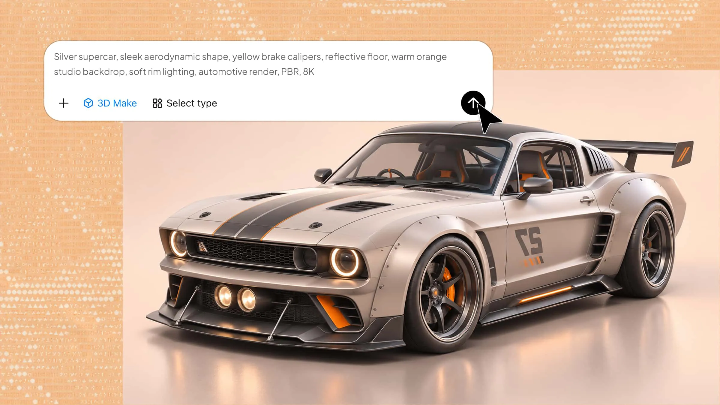
Bringing a creative 3D world concept to life can be difficult when you're unsure where to start or lack the right modeling skills. Kimi 3D Make simplifies the process by turning text prompts and reference images into 3D designs. You can generate a model, refine its details, and explore different visual styles. Let's look at 10 3D world designs you can create with Kimi 3D Make for your next project.
Political 3D world map
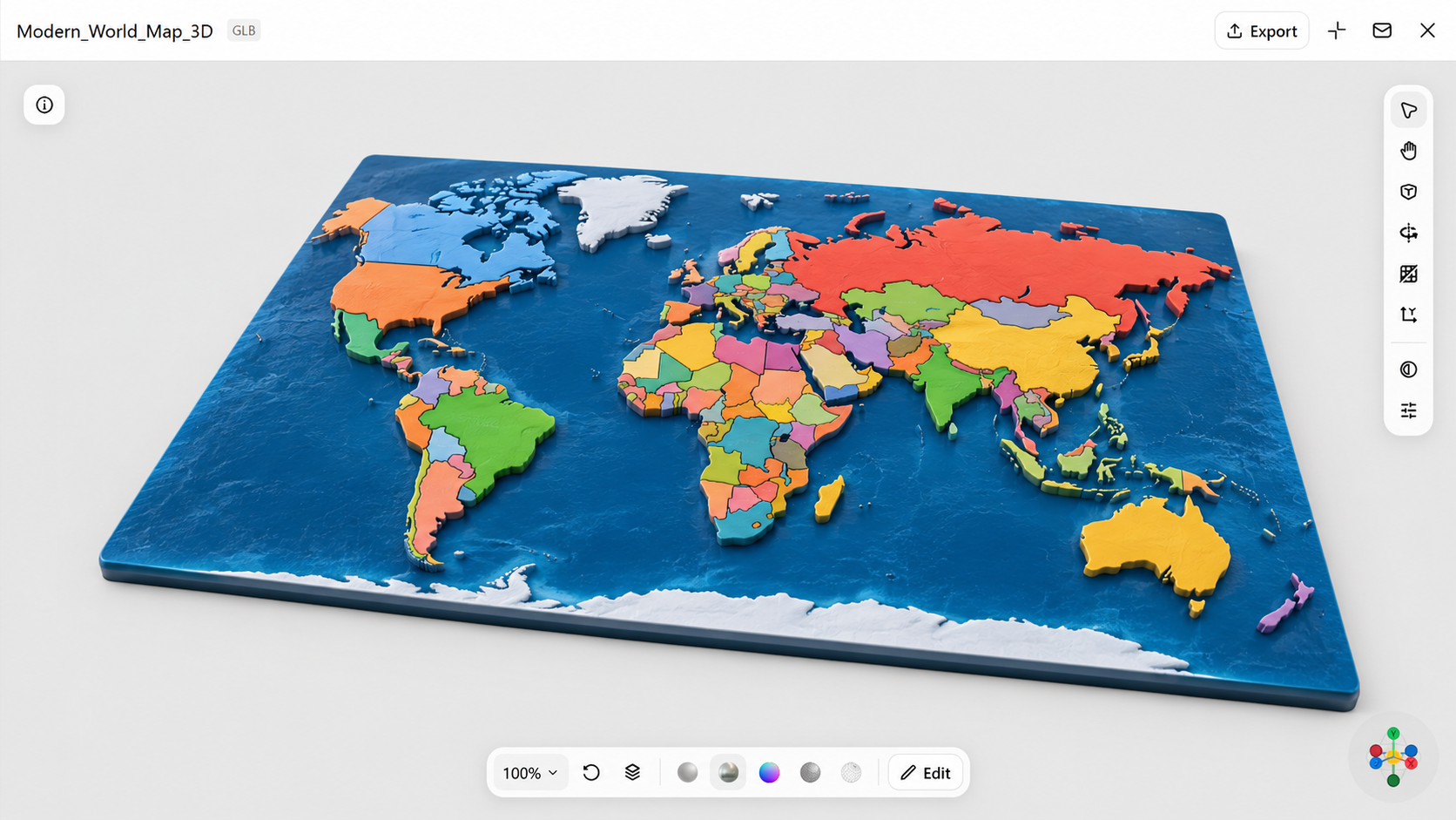
A political 3D world map provides a clearer understanding of nations, boundaries, and areas. The 3D format makes the map more interesting compared to a conventional flat version. It can be helpful for school assignments, presentations, geography-related content, or artistic images that require a worldwide viewpoint. This kind of 3D world design also makes it simple to highlight different countries and locations.
How to use
Step 1: Enter your prompt
Open Kimi 3D Make and write a prompt by describing the political 3D world map you want to create. Mention important details such as country borders, colors, labels, and the overall style.
Example prompt:
Step 2: Let AI generate your design
Let the AI turn your description into a 3D world map. If the first version isn't quite what you pictured, tweak your prompt and add more detail, such as the colors you want, which labels to show, the camera angle, or the style of the map.
Step 3: Review and export the design
Review the map to make sure the borders, labels, and layout look correct. Once you're happy with it, export the design to your preferred format and quality.
Physical 3D world map
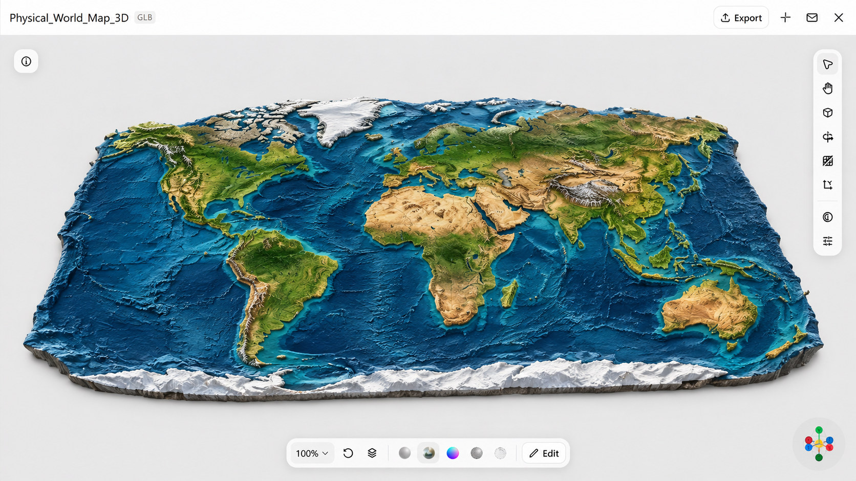
A physical 3D world map gives you a clear representation of our planet through elevated lands, hills, and water bodies. In contrast to a political map, it emphasizes the Earth's physical features rather than national boundaries. This makes it an excellent option for geography assignments, learning materials, or images that require a more realistic depiction of the globe.
How to use
Step 1: Enter your prompt
Open Kimi 3D Make and describe the physical features you want to show on your world map. Include details about mountains, oceans, deserts, and other natural landforms to give the design a realistic appearance.
Example prompt:
Step 2: Let AI generate your design
Let AI create your physical world map based on the prompt. If some landforms or natural features are missing, adjust your description to add more detail or change the overall appearance.
Step 3: Review and export the design
Check the natural features, terrain details, and overall appearance. Once satisfied, export your design in your preferred format and quality.
Topographic 3D world map
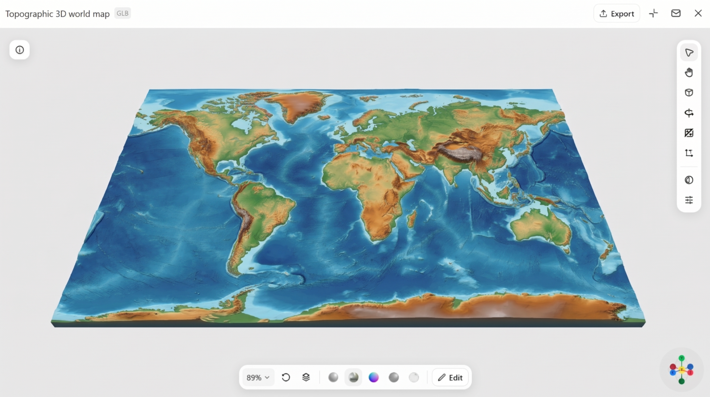
A topographic 3D world map is all about the natural shape and height of the land. Mountains, valleys, hills, and other landforms rise and dip at different levels, so you can clearly see how high or low each area is. This style makes the planet look closer to real life. It's a solid choice for geography lessons, and it also suits classroom or visual presentations.
How to use
Step 1: Enter your prompt
Open Kimi 3D Make and describe the topographic details you want to include. Focus on elevation, contour lines, mountain ranges, and valleys to help the AI create a map that clearly shows changes in land height.
Example prompt:
Step 2: Let AI generate your design
Let the AI turn your prompt into a topographic map. You can refine the result by adjusting the elevation details, contour lines, or color combinations to make different landforms easier to identify.
Step 3: Review and export the design
Check the elevation patterns, contour lines, and terrain details for clarity. Export the final design in your preferred format and quality.
Climate 3D world map
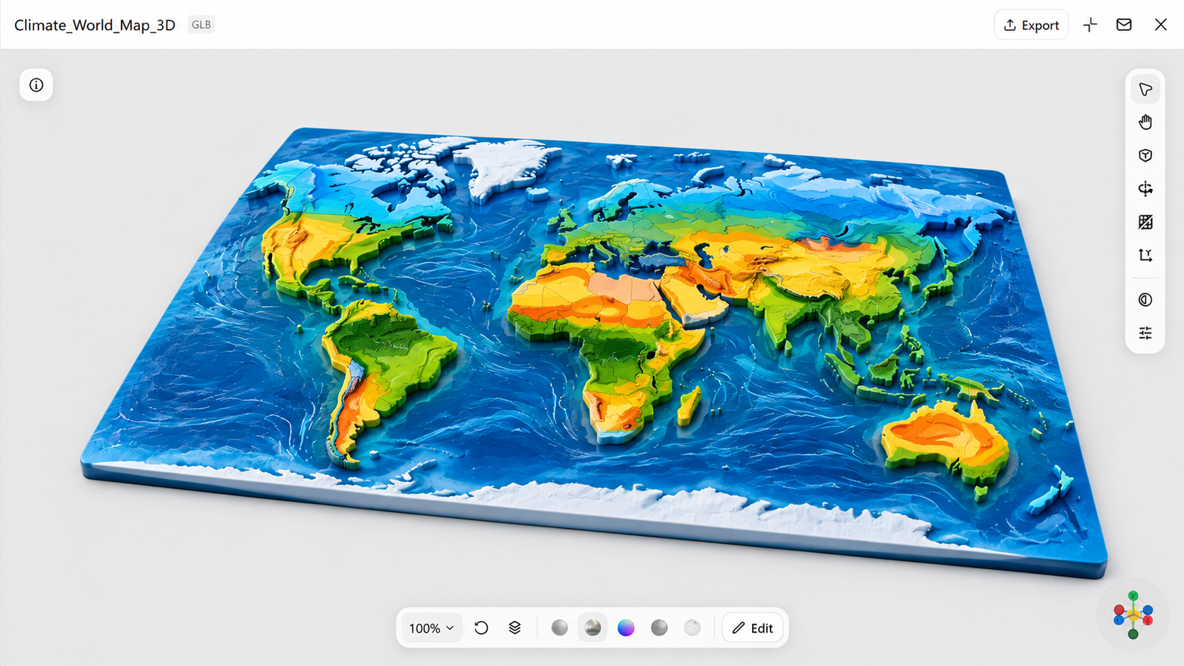
A climate 3D world map illustrates the regional variations in climate and weather patterns. Using various colors and visual layers, it can draw attention to temperature zones, rainfall totals, wind patterns, and other climate-related details. This helps make complicated climate data simpler to grasp and analyze. It serves as an excellent option for teaching materials, environmental discussions, and visuals related to climate studies.
How to use
Step 1: Enter your prompt
Open Kimi 3D Make and describe the climate information you want your map to display. Mention temperature zones, rainfall patterns, and different climate regions to give the AI a clear direction.
Example prompt:
Step 2: Let AI generate your design
Let the AI create the weather map based on your prompt. If the different climate areas are not clearly defined, improve your prompt by clarifying the colors, names, and visual elements you wish to emphasize.
Step 3: Review and export the design
Review the climate zones, colors, and labels to make sure they are easy to understand. Export your design in the format and quality required for your project.
Satellite 3D world map
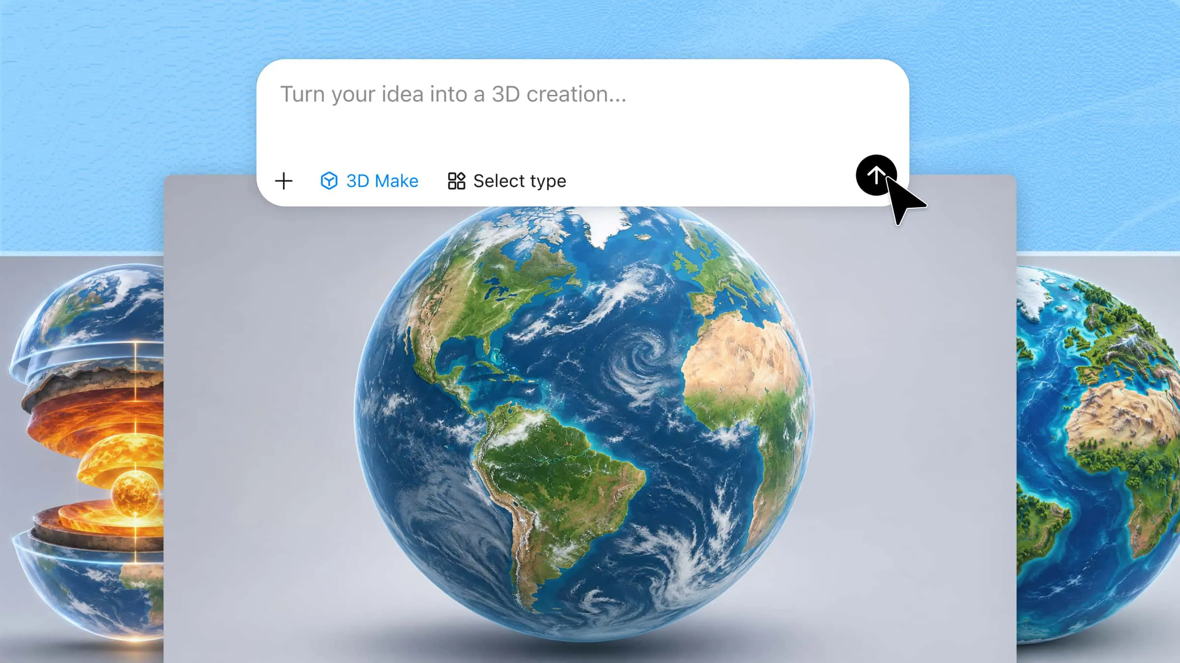
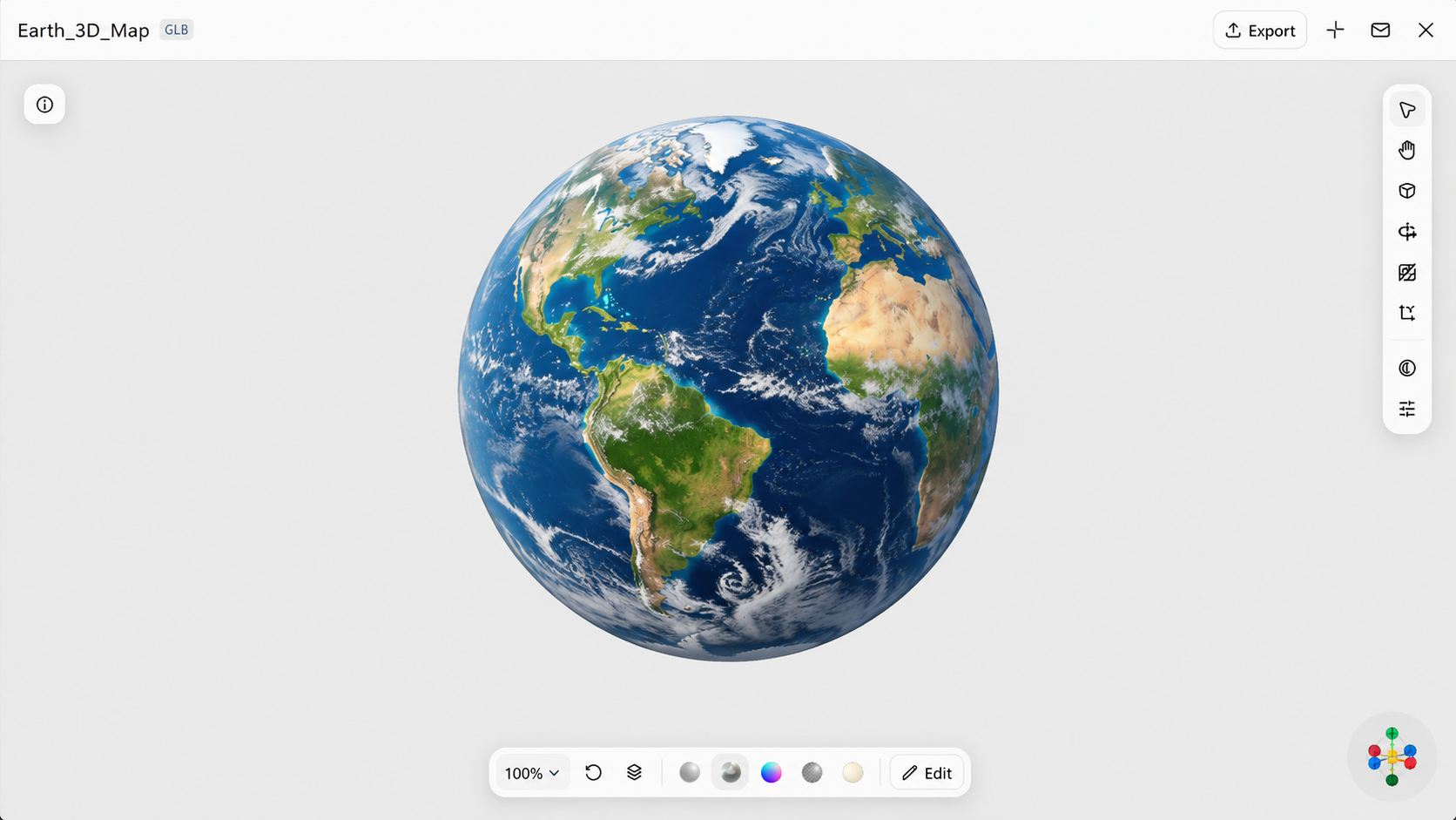
A satellite 3D world map depicts Earth in a realistic manner using photographs acquired from space. It clearly portrays natural elements such as coastlines, forests, deserts, and mountains, and major cities. The 3D appearance adds depth and helps the planet appear more realistic. This style is suitable for science projects, presentations, and creative creations that require an accurate depiction of Earth.
How to use
Step 1: Enter your prompt
Open Kimi 3D Make and describe the realistic satellite view you want to create. Include details about Earth's surface, natural landscapes, oceans, and cloud formations to achieve a space-based appearance.
Prompt:Example prompt:
Step 2: Let AI generate your design
Let AI create a satellite-style map. If the surface details look too simple, adjust your prompt to include more realistic textures, lighting, and natural features.
Step 3: Review and export the design
Check the surface textures, lighting, and visibility of natural features. Once the design looks right, export it in your preferred format and quality.
Population density 3D world map
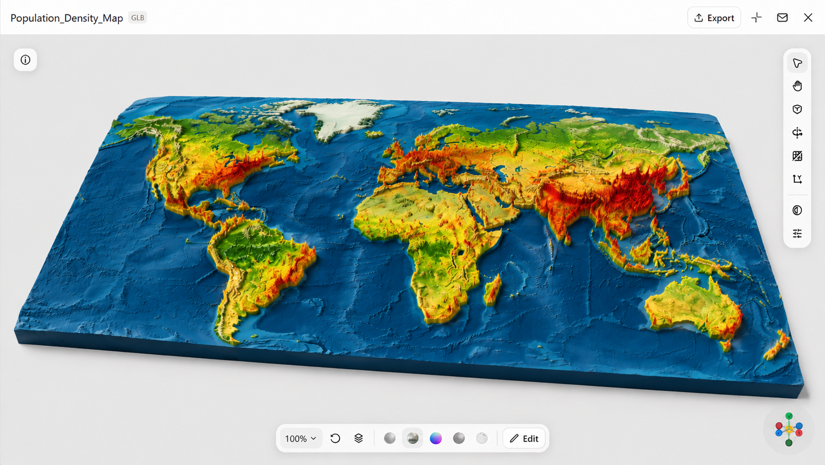
A population density 3D world map shows how people are spread out across countries and regions. Colors, raised areas, and other visual details mark the places where more people live close together. With this view, you can easily compare packed cities with areas that have fewer residents. It works well for geography projects and demographic studies, and it also fits presentations about where people live around the world.
How to use
Step 1: Enter your prompt
Open Kimi 3D Make and describe how you want population distribution to appear on the map. Mention densely populated regions, less populated areas, and the visual elements you want to use to represent population levels.
Example prompt:
Step 2: Let AI generate your design
Let the AI turn your description into a population density map. If the population differences are difficult to identify, refine the prompt by adjusting the height variations, colors, and regional highlights.
Step 3: Review and export the design
Review the population patterns and make sure the different density levels are easy to distinguish. Export your final design in your preferred format and quality.
Geological 3D world map
A geological 3D world map looks at what lies under the Earth's surface. Its detailed visuals can show rock layers, tectonic plates, mountain formations, and major fault lines. Because the design is layered, it helps explain how the planet took shape and how its surface keeps changing over time. It suits science projects and geology lessons, and it also works well for classroom presentations.
How to use
Step 1: Enter your prompt
Open Kimi 3D Make and describe the geological features you want to highlight. Include details about tectonic plates, rock layers, fault lines, and mountain formations to create a map focused on Earth's internal and surface structure.
Example prompt:
Step 2: Let AI generate your design
Let the AI generate the geological map based on your instructions. If important geological features are missing, add more specific details about the layers, plate boundaries, or cutaway sections.
Step 3: Review and export the design
Review the geological layers, plate boundaries, and labels. Once everything looks right, export your design in your preferred format and quality.
Terrain 3D world map
A terrain 3D world map shows the Earth's surface in a three-dimensional view, so its many land features look almost real. Mountains, plains, hills, valleys, and other natural formations appear with true-to-life depth and height. With this view, you can quickly see how different landscapes are shaped. It suits geography projects and travel presentations, and it also works nicely for outdoor adventure graphics.
How to use
Step 1: Enter your prompt
Open Kimi 3D Make and describe the type of terrain you want to display. Focus on natural landscapes such as hills, plains, valleys, and mountain ranges to give the AI a better idea of the desired layout.
Example prompt:
Step 2: Let AI generate your design
Let the AI create the terrain map using your description. You can modify the prompt to achieve more detailed landscapes, greater elevation variations, or a different visual perspective.
Step 3: Review and export the design
Review the terrain characteristics, depth, and overall arrangement to ensure that they appear consistent. Export the final design in your desired format and quality.
Interactive 3D world map
An interactive 3D world map doesn't just sit there as a still picture. Users can move around the planet on their own. They can spin the globe, zoom in on a particular place, or click on a region to learn more about it. Because people control what they see, the map holds their attention longer and feels more hands-on. It's a strong pick for educational websites and digital presentations, or for any project where users should be able to take part.
How to use
Step 1: Enter your prompt
Open Kimi 3D Make and describe the interactive globe experience you want to create. Mention features such as zoom controls, clickable locations, country highlights, and information panels to guide the AI.
Example prompt:
Step 2: Let AI generate your design
Let AI generate your interactive 3D world map. Check whether the main features work as expected, and refine your prompt if you want to improve the navigation, controls, or information displayed for each location.
Step 3: Review and export the design
Test the rotation, zoom, and clickable features to make sure they work properly. Once everything is ready, export your design in the available format.
Historical 3D world map
A historical 3D world map takes you back in time and shows how the world appeared in earlier eras. Ancient civilizations, borders that have since changed, old trade routes, and key historical sites can all be marked on it. When these details are shown in three dimensions, they gain more depth, and the past becomes easier to picture. Teachers often use it in history lessons, and it also fits well into research projects or classroom presentations.
How to use
Step 1: Enter your prompt
Open Kimi 3D Make and describe the historical period you want your map to represent. Include details about ancient civilizations, historical borders, important locations, and trade routes to give the design a clear historical theme.
Example prompt:
Step 2: Let AI generate your design
Let the AI create a historical map using your description. If the result does not capture the intended period, refine your prompt by specifying the historical era, geographical regions, and visual style.
Step 3: Review and export the design
Check the historical regions, borders, and important locations for accuracy. Once satisfied, export your design in your preferred format and quality.
Why use Kimi 3D Make to build 3D world models
Kimi 3D Make makes it easier to turn creative ideas into detailed 3D world models. Its features help you generate, refine, and export designs for different creative projects.
Generate 3D world models from text prompts and reference images
Kimi 3D Make supports both text-to-3D and image-to-3D generation. Describe the world you want to create or upload a reference image to guide the process. This makes it easier to turn early concepts, sketches, and visual inspiration into 3D models.
Create detailed and visually appealing world models
Kimi 3D Make helps create 3D world models with rich visual details and cohesive designs. From natural terrain and mountain ranges to city buildings, vegetation, and water features, generated models can capture distinctive environmental elements and create a more immersive overall appearance. This makes them suitable for creative projects that require detailed and visually engaging 3D worlds.
Refine generated models with simple prompts
You don't have to settle for the first result. Kimi 3D Make supports follow-up prompt-based editing, so you can describe the adjustments you want to make and explore different versions of a model. This helps you refine visual details and bring the generated result closer to your original concept.
Export models for different creative workflows
Once your 3D world model is ready, export it in GLB and BLEND format for use in compatible 3D software and other creative workflows. These formats make it easier to continue working with your generated assets in modeling, visualization, and content creation projects.
Tips for designing 3D world models
Before building a 3D world model, it's worth thinking about how you want the final design to look and feel. A few simple design choices can help you create a more detailed, balanced, and visually appealing environment.
Start with a clear world concept
First, decide on the type of universe you want to create. It might be a natural landscape, a futuristic city, or even a setting you created yourself. Knowing this from the start makes future design decisions much easier.
Plan the overall layout and composition
The textures and materials you pick should suit the setting. Rocks look better with a rough finish, and water needs a smooth one. Trees and soil work best with earthy, natural textures.
Pay attention to textures and materials
The textures and materials you pick should suit the setting. Rocks look better with a rough finish, and water needs a smooth one. Trees and soil work best with earthy, natural textures.
Create depth with lighting and atmosphere
Lighting has a big effect on how a 3D world looks. Add shadows and natural light, and try effects such as fog. These give the scene more depth and draw attention to the parts that matter most.
Maintain visual consistency across the world
Use the same colors, textures, and style in every area. If the design stays steady throughout, each part ties in with the rest, and the world looks more natural.
Conclusion
To sum up, creating a 3D world map becomes easier with an AI tool like Kimi 3D Make. From realistic geographical maps to creative virtual globes, you can explore different styles and bring your ideas to life through text prompts and reference images. Choose a map style that suits your project, refine the details, and generate a 3D design that matches your vision.